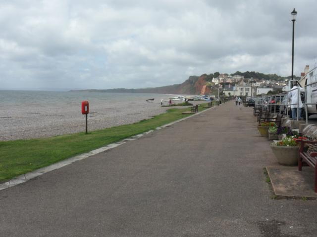
A short walk for all ages and abilities along the mostly level Budleigh Salterton seafront. Budleigh Salterton is a charming seaside town with very much a traditional, “olde-worlde” character. This unspoilt character is partly a result of the pebbly beach, which prevented it from ever becoming a resort for large scale tourism.
| OVERALL RATING: GREEN | ||
| Path Surfaces: | ||
| Maximum Climbing Gradient: | 1 - GREEN | 2% |
| Maximum Descending Gradient: | 1 - GREEN | -2% |
| Total Elevation Gain: | 11 metres | |
| Distance: | ||

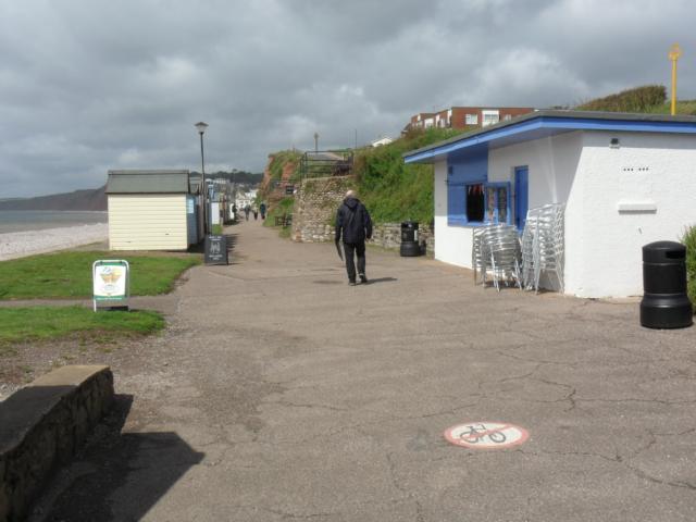
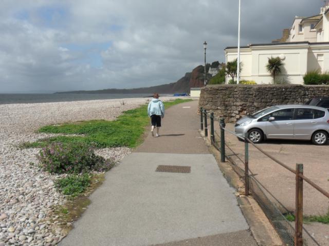
 coming up out of the car park onto the promenade.")


 has a wide, gentle concrete access ramp.")


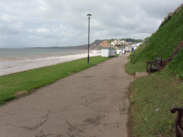
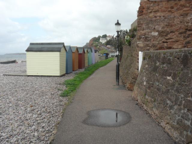
 camber to seaward.")


 down and around this corner.")
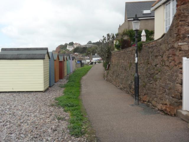
gradient coupled with a 1:20 seaward camber.")
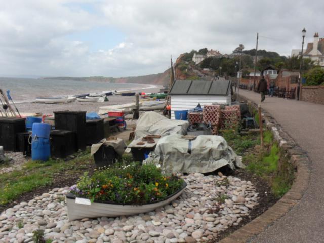


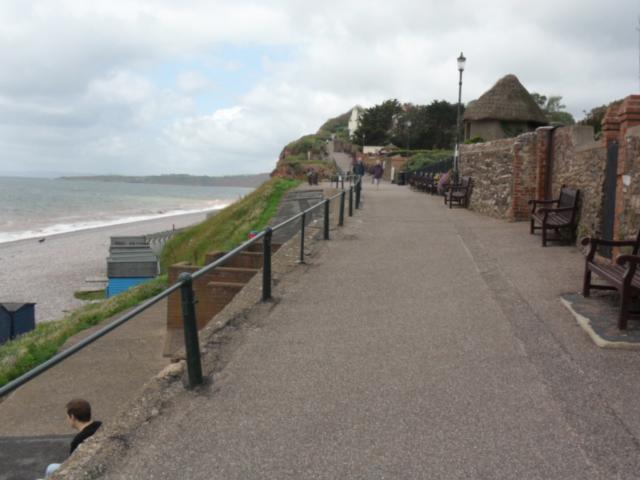
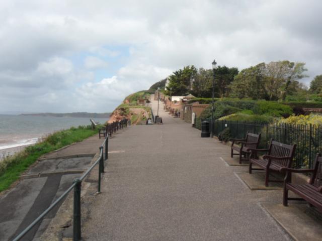


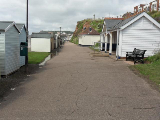
 - plenty of seats for an opportunity to enjoy the view.")


