Route Filmstrip & Description
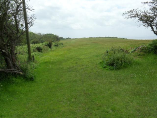
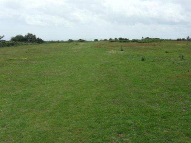
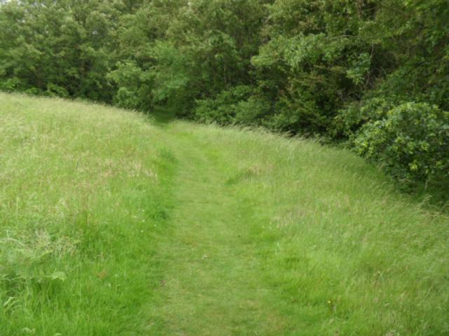
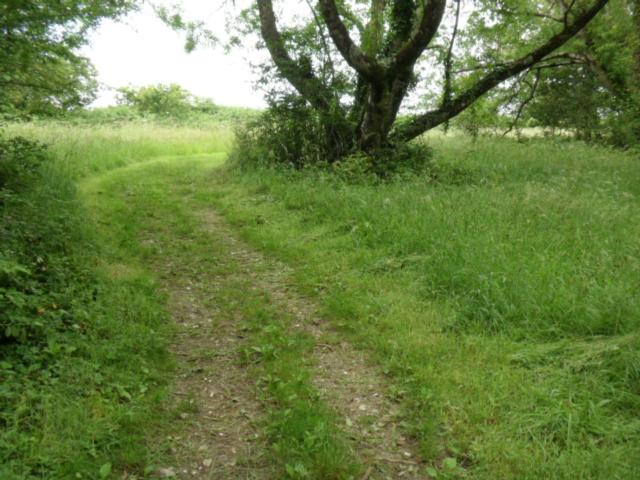
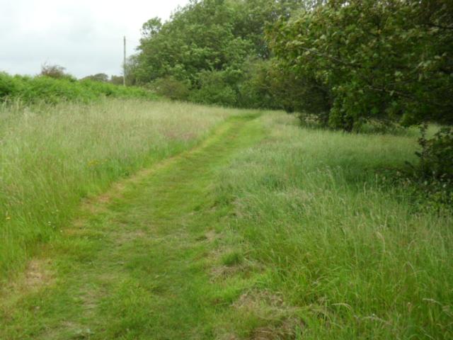
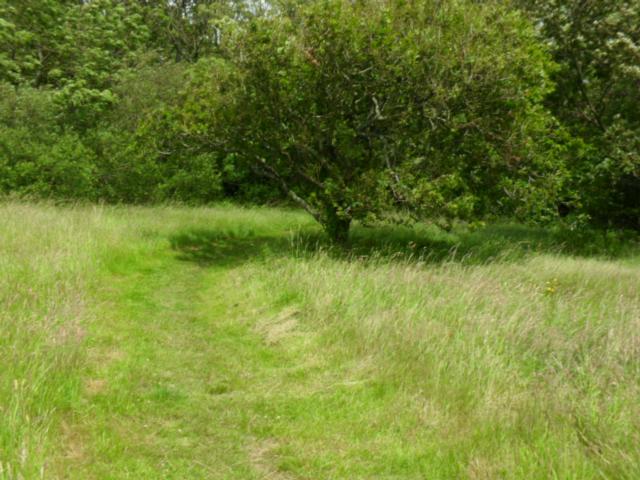
This short, level walk over well trimmed grassland provides exceptional views over the western end of the Jurassic Coast towards the mouth of the River Exe and then beyond to Dawlish, Teignmouth and Torbay.
Surveyed by: Allan Ginman, July 2012
(Summer)
Accessibility Rating: 3
Distance: 1.3 km
Car Park: Muttersmoor Car Park - currently free
Steps: No
Barriers: No
Toilets: No


Muttersmoor Car park is currently free. The Sidmouth Hopper stops at the entrance nearest Sidmouth (left side facing the coast!)
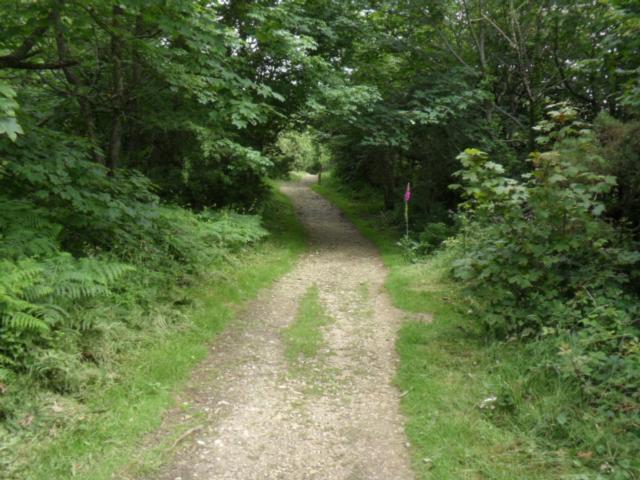
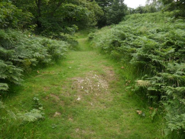
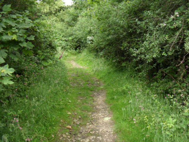
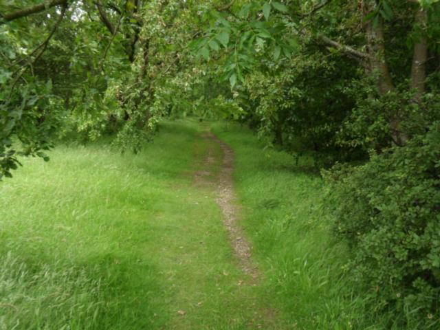
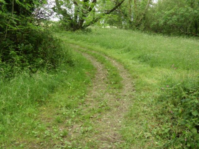
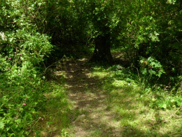
. The surface is stony with some bumps. It dries quickly even after heavy rain.

Our route crosses the road at the left hand exit to the car park. Beware occasional cars and weary cyclists.

There is a public footpath leading off to the right. It leads to point 17. It's reasonably level, has a downhill camber and is wide enough for any wheelchair or pushchair.

....and then turned back. We followed the path parallel to the cliff edge - well away from the wired fence....

... until we reached another kissing gate. Here there are 2 choices. The easiest route is to turn left and head back towards the car park. However....

....if you enter National Trust land, be aware that the paths may be undulating and grassy. You do have good protection form any wind!
Be aware there is another kissing gate at the end of this stage of the walk.
Peak Hill Phototrail
Map Markers
The route is shown as a red line. You can show or hide the types of points indicated on the map using the checkboxes below.
Show All Trail Points | Show No Trail Points | Show Summary
Accessibility Info | Amenities Info | Facilities Info | Features Info | Way Finding Info | ||||||||||||||||||||||||||||||||||||||||||||||||||||||||||||||||||||||||||||||||||||||||||||||||||||||||||
---|---|---|---|---|---|---|---|---|---|---|---|---|---|---|---|---|---|---|---|---|---|---|---|---|---|---|---|---|---|---|---|---|---|---|---|---|---|---|---|---|---|---|---|---|---|---|---|---|---|---|---|---|---|---|---|---|---|---|---|---|---|---|---|---|---|---|---|---|---|---|---|---|---|---|---|---|---|---|---|---|---|---|---|---|---|---|---|---|---|---|---|---|---|---|---|---|---|---|---|---|---|---|---|---|---|---|---|---|---|---|
|
|
|
|
|
A map of the route is shown above -
- click on any marker point to view a photograph and the description of that point
- to zoom in or out use the navigation tool on the top-left of the map
- click and drag to change the centre of the map
- you can change to map/terrain/satellite/hybrid (satellite + map) views using the control on the top-right of the map
Route directions are shown below the map.
- Click on any marker icon in this list to highlight that point on the map and show a photo of that spot.
Got something to say about this Phototrail? Let us know!
Vertical Profile
This is an approximate vertical profile with samples taken at 100m intervals along the trail.
